 geo.be Metadata Catalog
Administrative units
Type of resources
Available actions
Topics
INSPIRE themes
federalThemes
Keywords
Contact for the resource
Provided by
Years
Formats
Representation types
Update frequencies
status
Service types
Scale
Resolution
-

Under the territorial divisions are grouped different datasets that represent fully recognised Belgian geographical units. The AdminVector dataset encompasses the statistical sectors defined by the FPS Economy, the administrative units maintained by the FPS Finance and their centres, as well as the boundary stones. The datasets of the judicial cantons and judicial districts are built on the basis of their definition in the Judicial Code. The dataset of electoral districts is built on the basis of its definition in the Electoral Code. The dataset of the postal districts contains the boundaries of the Belgian postcodes managed by bpost.
-

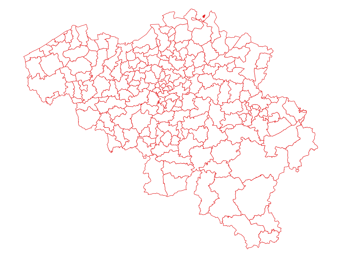
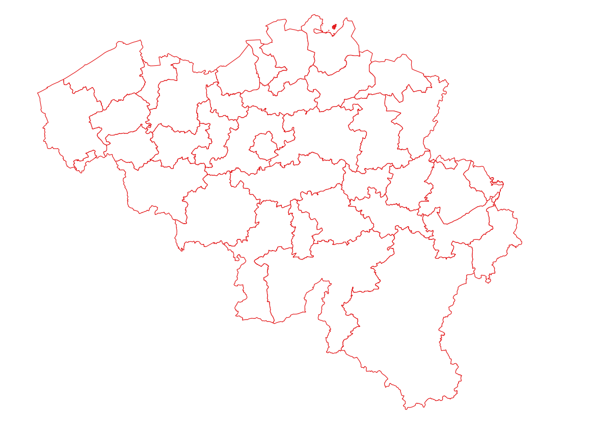
Administrative Units - INSPIRE corresponds to the dataset of the Belgian administrative units that complies with the INSPIRE specifications. This dataset is composed of two classes. The first class contains administrative units and the second class contains administrative boundaries. The class are composed of the following administrative level: Kingdom, Regions, Provinces, and arrondissements, and municipalities. The entire dataset can be downloaded via the ad hoc WFS.
-
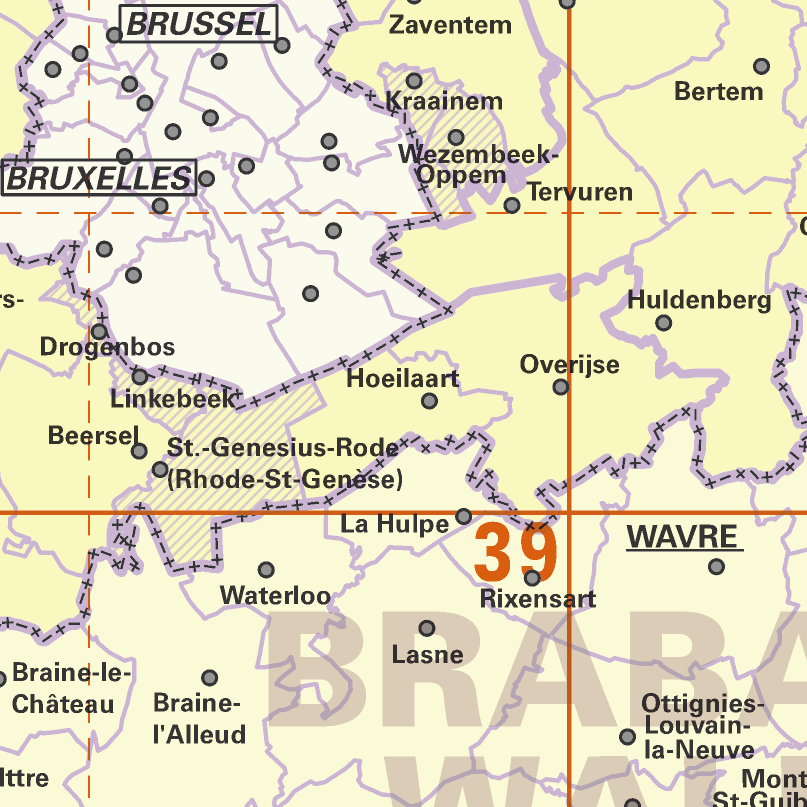
AdminMap is the digital version of the administrative map. Two versions exist: the most complete one on the scale of 1:300 000 and a simplified version on the scale of 1:500 000. These maps show the different administrative units on the Belgian territory, from the federal State to the center of the districts for the 1:500 000. The map also shows the map grid of the National Geographic Institute. An index allows localizing the different units. The index also contains information on the linguistic statutes and on the postal codes.
-

This web service allows viewing the territorial divisions that represent fully recognised Belgian geographical units. The AdminVector dataset encompasses the statistical sectors defined by the FPS Economy, the administrative units maintained by the FPS Finance and their centres, as well as the boundary stones. The datasets of the judicial cantons and judicial districts are built on the basis of their definition in the Judicial Code. The dataset of electoral cantons is built on the basis of its definition in the Electoral Code. The postal cantons dataset is based on the boundaries of the Belgian postal codes managed by bpost.
-
AdminVector is the vector data set of Belgian administrative and statistical units. It includes various classes. First class: Belgian statistic sectors as defined by the FPS Economy. Second class: municipal sections, with no unanimous definition. The five following classes correspond to official administrative units as managed by the FPS Finance. Other classes are added to these classes, like border markers or the Belgian maritime zone. The boundaries of the seven first classes are consolidated together in order to keep the topological cohrence of the objects. This data set can be freely downloaded.
-

This dataset contains the administrative units for the organisation of elections, within their boundaries as established by Annex I of the Electoral Code.
-

Administrative units - current situation corresponds to the dataset of administrative units from the reference database for the land register data. Administrative limits are legally defined by an administrative entity or between two administrative entities. In Belgium, administrative limits as legally defined are fixed and can only be changed by a law, ordinance or decree. The General Administration of Patrimonial Documentation of the FPS Finance is named by the federal authorities as the authentic source of Belgian administrative limits. This dataset corresponds to the current situation at the time of consultation. It is composed of five geometric classes. The first class corresponds to the whole national territory. The second corresponds to the territory of the three regions, the third to the territory of the provinces, the fourth to the territory of the administrative districts, the fifth to the territory of the municipalities. The dataset is freely downloadable via the ad hoc WFS service.
-
Police zones corresponds to the dataset of the territorial delimitation of the police areas such as defined by the Royal Decrees of April 28th 2000 in accordance with the law of December 7th 1998 organising an integrated police service. This dataset is composed of two classes. The first class contains the identifiers, names and geometries of the various areas; the second is a class without geometry and corresponds to the table of Belgian municipalities with the police area for each of them. The dataset can be freely downloaded as a zipped shapefiles.
-
Emergency rescue zones corresponds to the dataset of the territorial delimitation of the emergency areas such as defined by the Royal Decree of February 2nd 2009 determining the territorial delimitation of the emergency areas in accordance with the law of May 15th 2007 on civil protection. This dataset is composed of two classes. The first class contains the identifiers, names and geometries of the various areas; the second is a class without geometry and corresponds to the table of Belgian municipalities with the emergency area for each of them. The dataset can be freely downloaded as a zipped shapefiles.
-

Landcover100Map is a digital version of the NGI’s topographic cartography on a scale of 1 :100 000. The images come from the symbolisation of the objects and the themes in the topo-geographic inventory of the Belgian territory (ITGI), which is built and kept up-to-date by the NGI. Landcover100Map is meant for a regional use on a larger scale than the one for Top50Map, typically on the scale of a province. The land use theme is very salient in this topographic cartography. The relief is represented by shadowing.